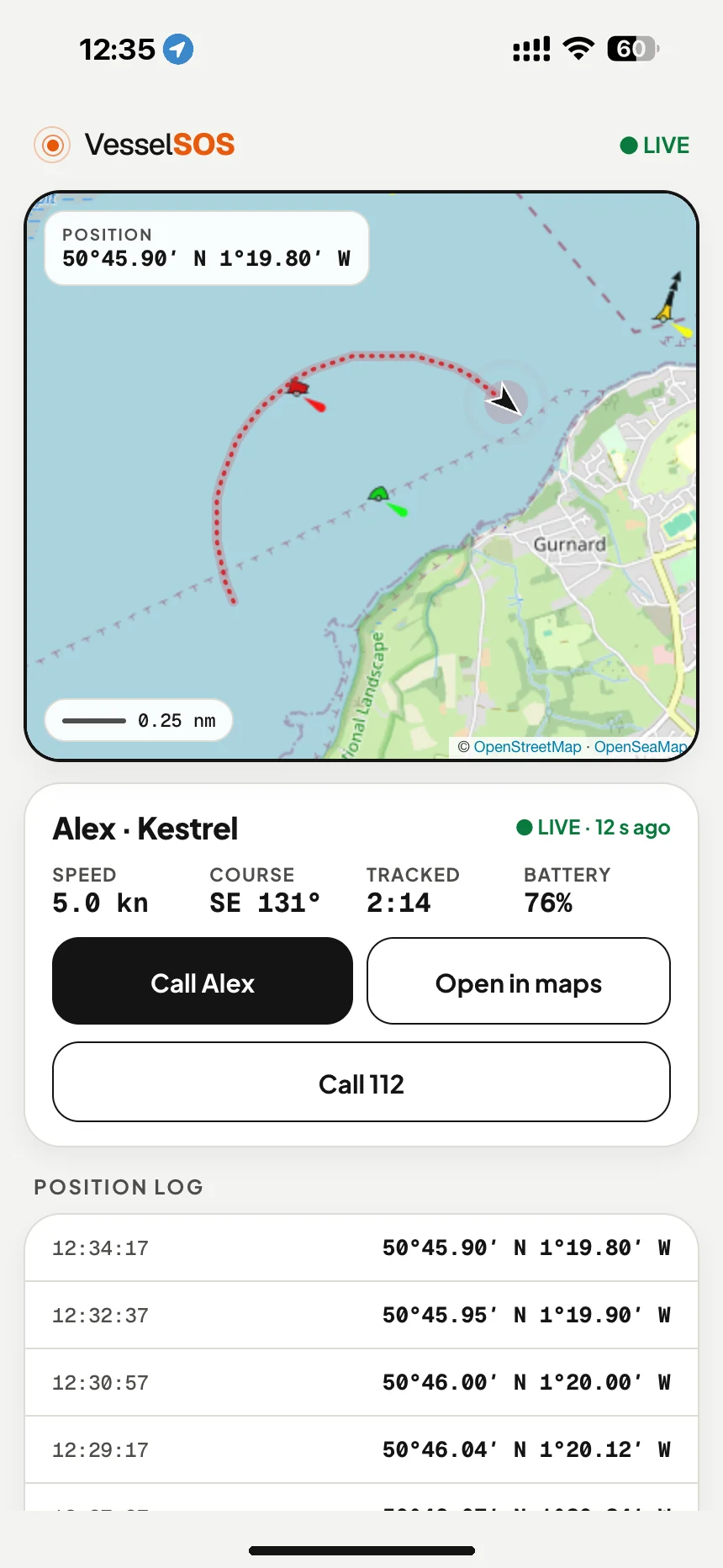
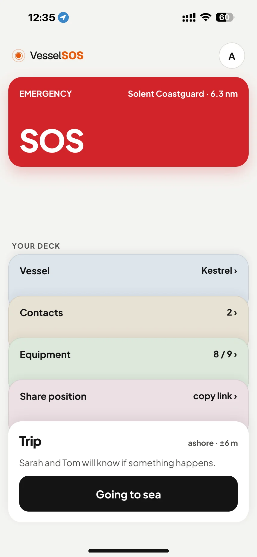
The people ashore watch you move in real time — no app, no account, just a link. And if something goes wrong, your position, craft details and the right rescue centre are already on one screen.
Send a live tracking link before you cast off — position, course and battery in any browser. Nothing to install ashore.
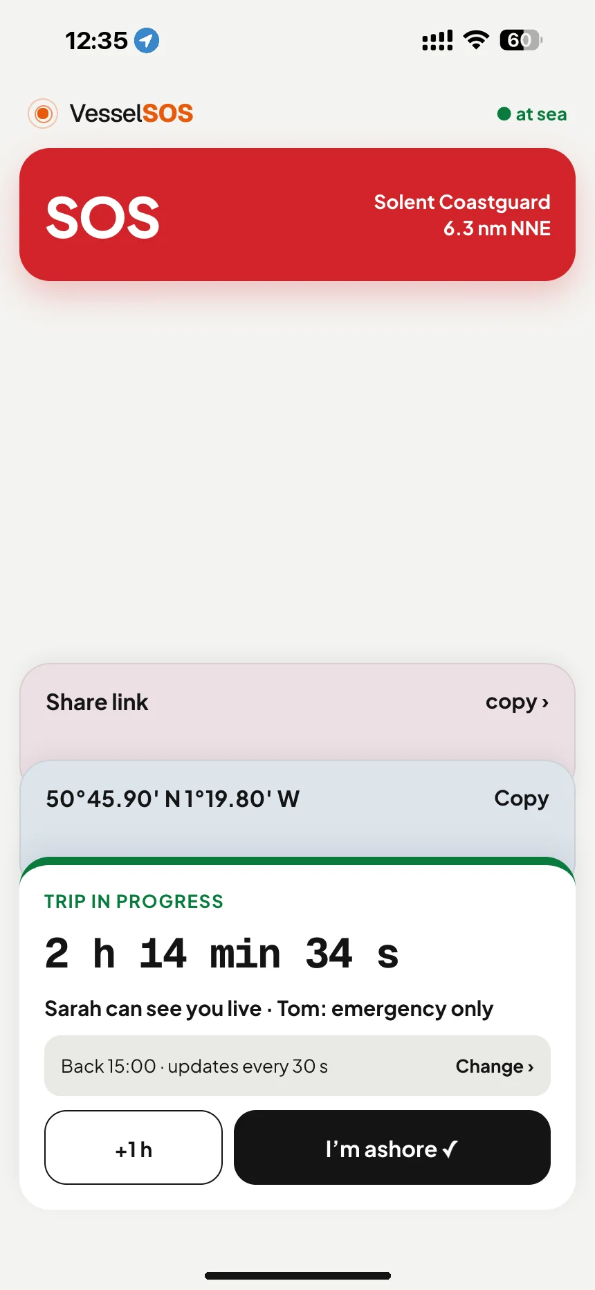
Coordinates on screen in a second — even when coverage drops and the chart stops loading.
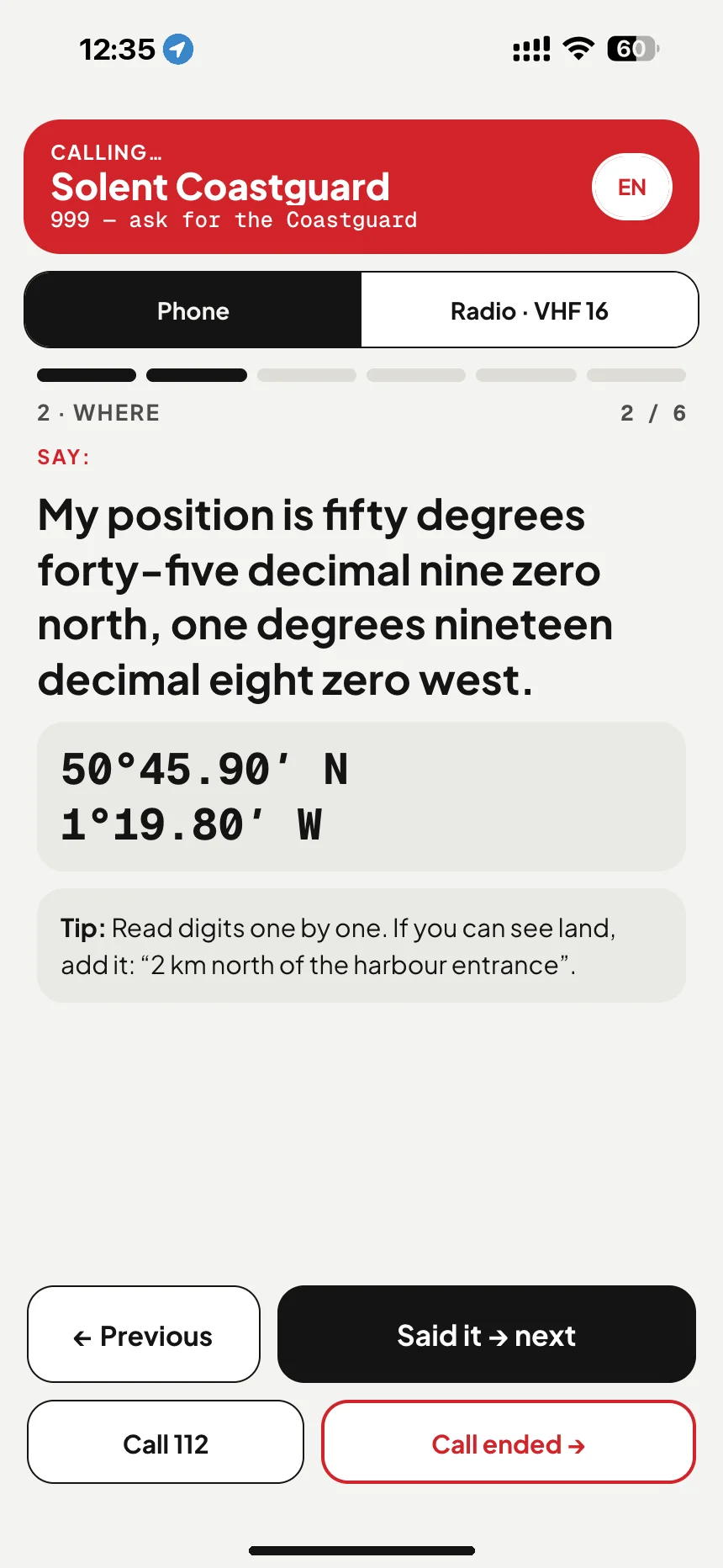
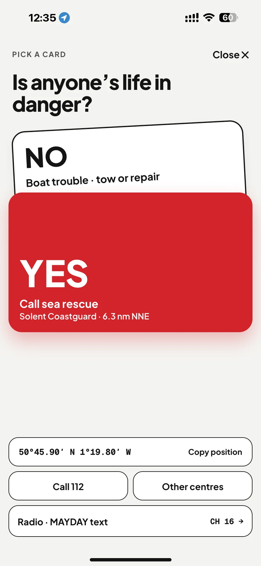
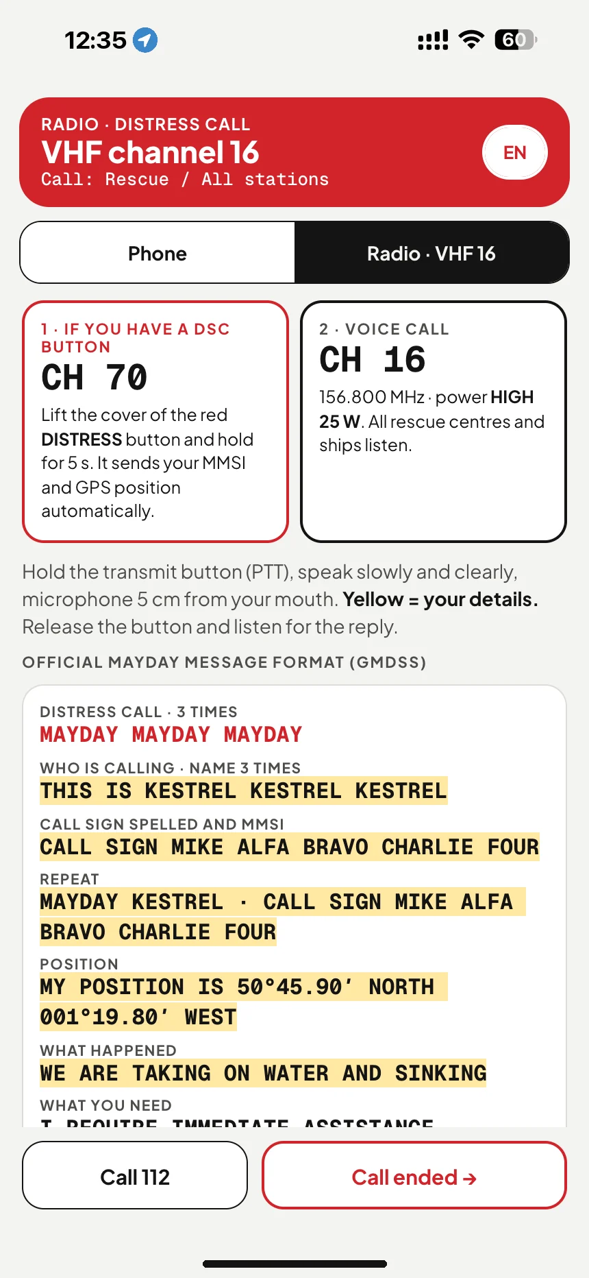
The responsible rescue centre, 112 and a read-aloud MAYDAY — hold three seconds and you're on the line.
Send a link before you set out or in an emergency. It opens in a browser and shows your position, course and battery until you stop sharing.
The app opens on your position. The coordinates are large, copyable and readable even when your hands are shaking.
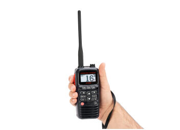
A radio call whose wording you don't have to remember — your craft, position and situation are already in the text.
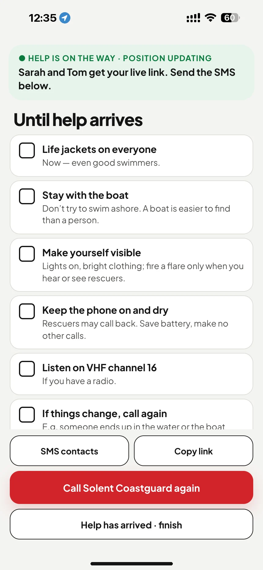
A pre-written message with a map link, the situation and a timestamp goes out at once to everyone you chose in advance.
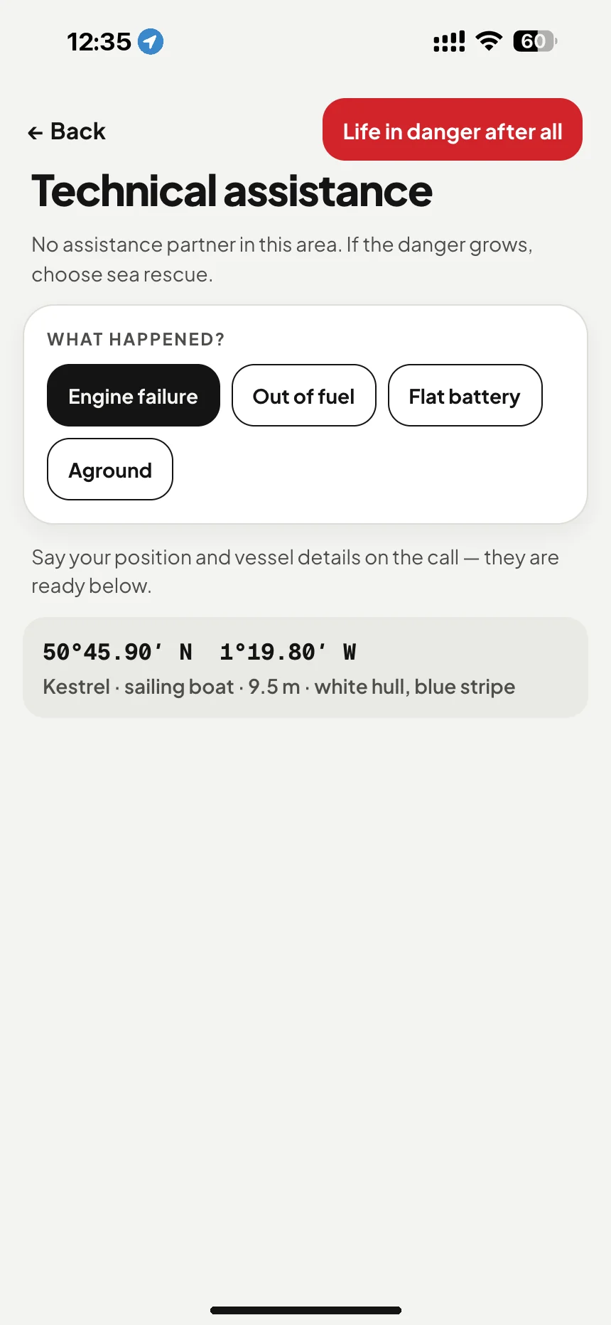
A fouled prop or an empty tank is not a rescue case. The app shows who takes a technical-assistance call in this country — rescue service, coastguard or a local tow operator — and how to word it.


First day on a chartered yacht in Greece. Someone goes overboard. You know 112 — but not whose area you are in, or that centre's number. And you start looking it up at the worst possible moment.
A general operator answers, not maritime rescue. First you have to explain that you are on the water.
Your position has to be put into words and then found on a map — on a foreign coast, through a language barrier as well.
Being put through to the right rescue centre means waiting again and telling the story from the start.
You have drifted all that time, and nobody aboard knows what to do in the meantime.
Every link in that chain adds minutes. In an emergency, time is the one thing you can't get more of.
The nearest responsible centre, its number and VHF channel are on screen before you think to ask.
No general number, no transfer. 112 stays as the backup, not the first link.
Position, craft and situation are in the text — for the call and the SMS, on your crew's phones too.
Search and rescue — 112, VHF 16, the responsible rescue centre. The app never gets between you and SAR: it makes that call faster, with your position, craft details and a word-for-word MAYDAY already on screen.
A fouled prop or an empty tank goes to your country's marine assistance service — free if you're a member, hundreds of euros per tow if you're not. The app knows which service covers the waters you're in and keeps the emergency line free for emergencies.


That's why the screen is already filled in when you open it. Step through it — the phone follows.
Coordinates appear in a second — no coverage needed, no chart to download.
Two taps and the SMS and MAYDAY are filled in with your own details.
Three seconds and you're on the line with the responsible rescue centre.
SUBSCRIPTIONS ARE PURCHASED INSIDE THE APP — VIA APP STORE OR GOOGLE PLAY
Rescue-centre numbers live on the ordinary phone network — you can't simply reach them over the internet. When you have no SIM, roaming fails or only satellite internet is aboard (Starlink, for example), the Pro plan routes the call through a telephone-network gateway so it lands on the rescue centre's real number. It cannot reach the 112 short code, and it still needs a data connection. Without Pro you always have your position, the MAYDAY script and the SMS.
In an emergency there is no time to set anything up. The app asks for these things at the start and keeps them on the phone — with or without a network.
Name, type, length, colour and the MMSI if you have one. This is the first thing you'll be asked for.
Three numbers for the SMS and the tracking link. A club or harbourmaster number works fine.
Your usual sailing area is stored on the phone so the chart opens without data.
Without it the app can't show coordinates. We ask once, not every time.
The app picks the responsible rescue centre from your position — not from where the phone was registered. The data comes from the IMO global SAR plan (GISIS).
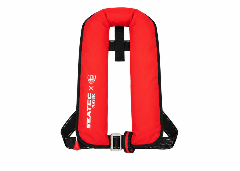
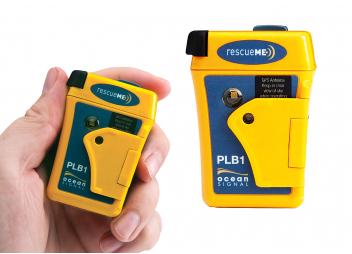
No. A beacon works where there is no phone network at all, and offshore you should always carry one. VesselSOS is the fast backup that exists even when a beacon doesn't — and on most small craft there isn't one.
Both, in that order. Day to day it's a live tracking link for the people ashore. The emergency screen — position, MAYDAY script, the responsible rescue centre — sits behind it, filled in and waiting for the day you hope never comes.
Your position, the MAYDAY text and your craft details are on the phone even fully offline — GPS needs no mobile network. Calls and SMS do need a network; the Pro plan (coming soon) adds internet calling to the rescue centre's real number — over satellite internet too.
Idle, essentially none — the app does not track you in the background. Live tracking starts only when you switch it on, and it shows your battery level to the people watching.
Only the people you send the link to. The link expires and tracking ends when you end it. We do not sell location data or share it with third parties.
Then no app helps — which is exactly why we never claim VesselSOS replaces a beacon. Keep the phone in a waterproof pouch on a lanyard, and charge it before you leave.
VesselSOS is an aid, not a rescue service. It does not replace a VHF radio, an EPIRB or a call to your local emergency number. It depends on your phone's battery, GPS and mobile coverage — none of which we can guarantee at sea. Emergency numbers differ by country: 112 in Europe, 911 in the US, 000 in Australia. The app selects the local one from your position.
Questions about the app, your account or a charter fleet — a human answers within one working day.
Necessary cookies keep the site working and are always on. Analytics and marketing cookies — including the Meta pixel used for Facebook and Instagram ads — load only if you allow them. We never use location data from the app for advertising.